Unified Earth Intelligence Platform
One platform to task satellites, manage data, run analytics, and deliver insights. Observa Hub brings together multi-source satellite imagery, automated processing, and mission operations into a single, seamless environment — built for teams that need speed, clarity, and trusted intelligence.
PRODUCT OVERVIEW
The Central Platform Powering Earth Observation Intelligence
Observa Hub is the central platform powering an integrated Earth observation intelligence.
It unifies imagery from multiple satellite constellations, standardizes data formats, and provides a single interface to search, order, task, process, analyze, and deliver insights, all within one streamlined environment.
Built for both mission operations teams and analytical users, it compresses the full intelligence lifecycle from weeks to hours, accelerating everything from tasking to delivery. With built-in preprocessing, reusable workflows, integrated satellite tasking, and scalable data management, Observa Hub ensures fast, consistent, and mission-ready intelligence across diverse operational needs.
VALUE AT A GLANCE
Engineered for Efficiency, Scale, and Real-World Outcomes
Go from acquisition to insight in hours, not weeks. Automated preprocessing and reusable workflows remove repetitive setup and speed up the entire analysis pipeline.
CORE CAPABILITIES
Centralized. Automated. Scalable.
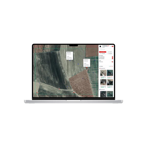
Data & Catalog
STAC and OGC-compatible metadata, area- and time-based search, tiered storage, automatic tiling, COG/Parquet support, spatiotemporal indexing, and on-demand reprojection.
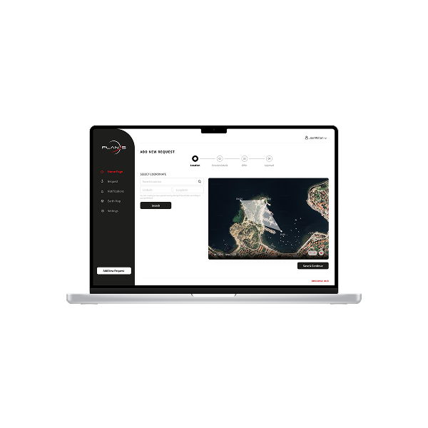
Tasking & Scheduling
Direct satellite tasking with feasibility checks, conflict resolution, and priority management. Configure acquisitions through rule-based logic or event-driven triggers.
Analytics & AI
Ready-to-use workflows for detection, segmentation, and change analysis designed to support common operational intelligence needs.
Delivery & Security
Alerts, reports, dashboards, and flexible export options. Role-based access control, SSO/SAML/OIDC integration, audit trails, and end-to-end encryption.
APPLICATIONS IN ACTION
From Observation to Actionable Insight
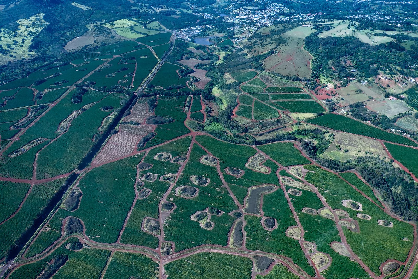
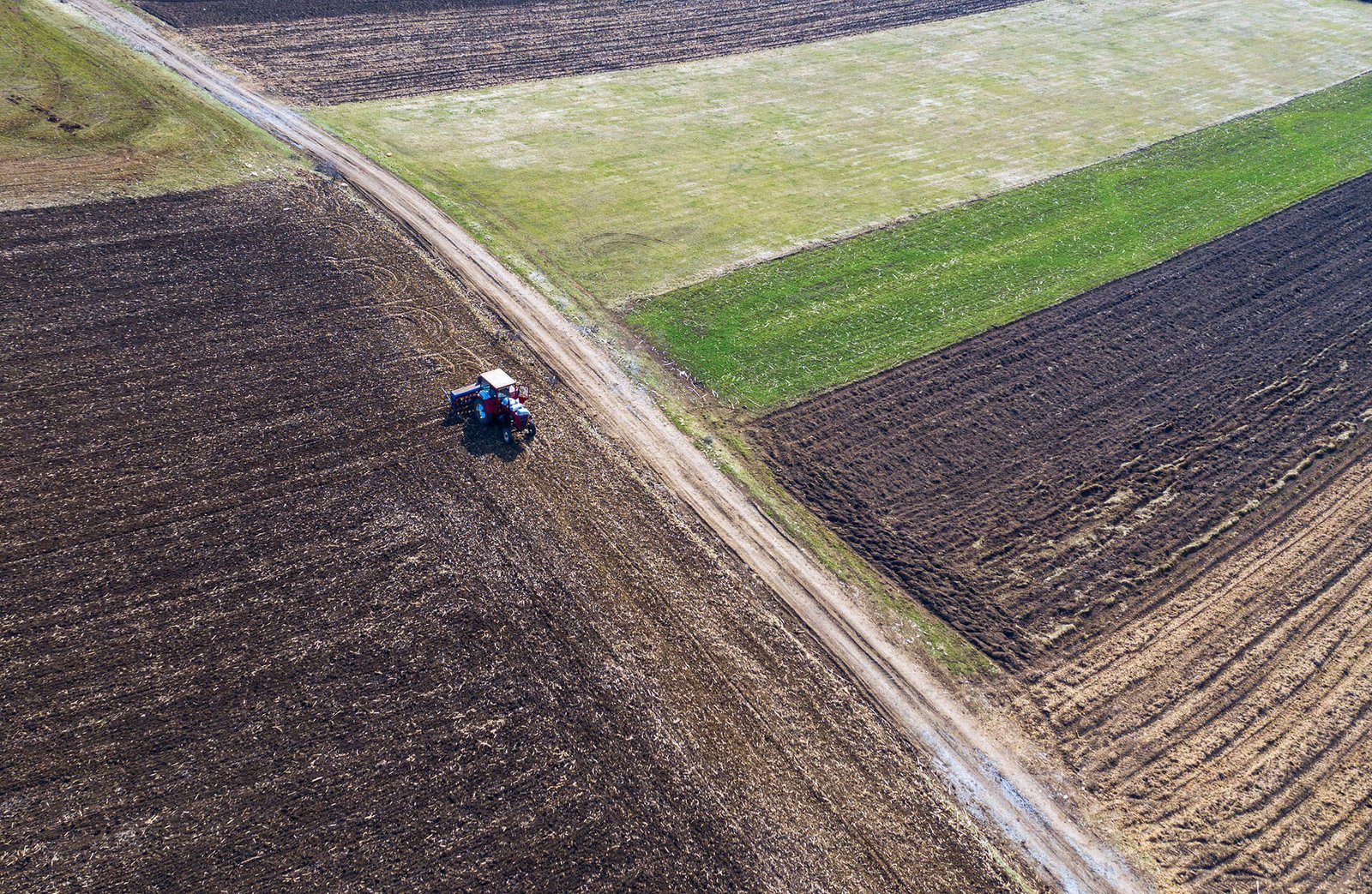
Precision Agriculture
Crop-type mapping, NDVI/NDMI/LST monitoring, irrigation checks, and early yield-risk indicators.
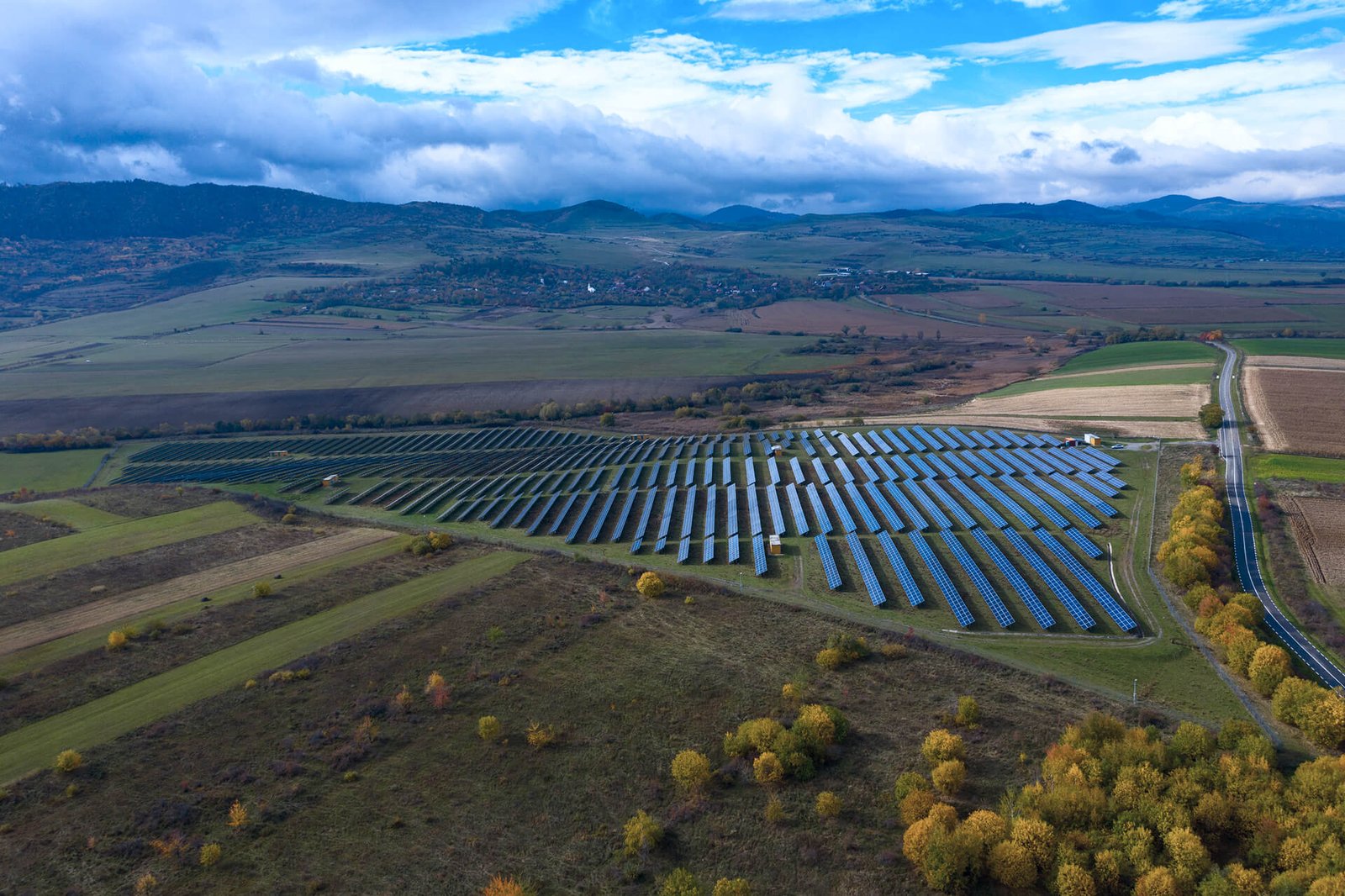
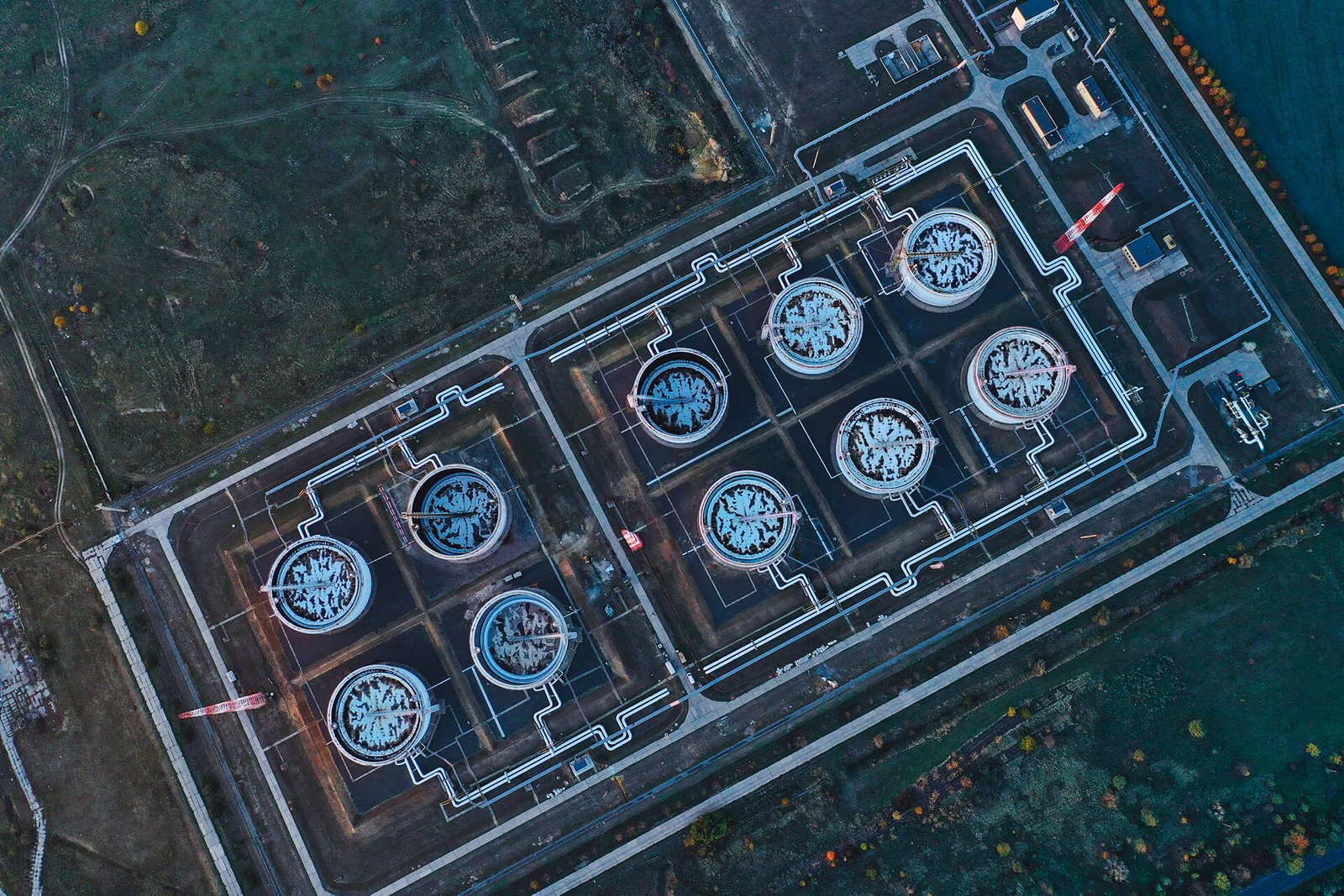
Oil & Gas / Pipelines
Route monitoring, encroachment detection, land movement, and anomaly alerts.
Infrastructure & Smart Cities
Construction progression, urban growth monitoring, compliance documentation, and planning insights.
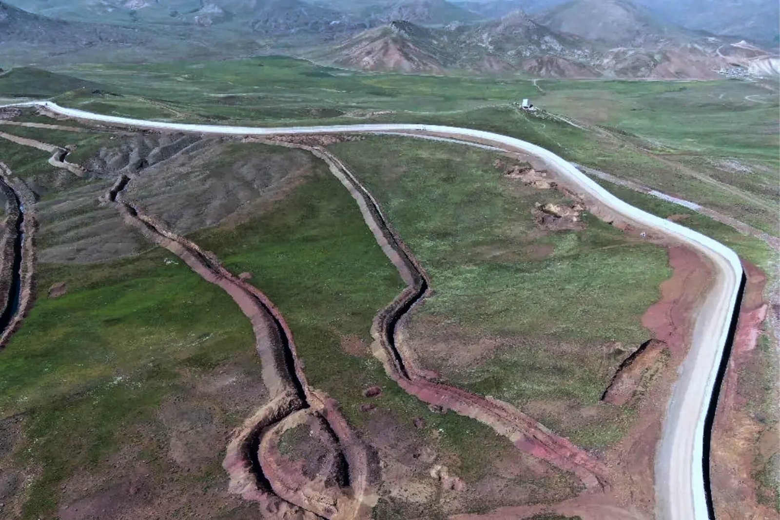
Environmental & ESG
Deforestation, coastline dynamics, water-body analysis, heat-island mapping, and ecosystem monitoring.
EARTH OBSERVATION PORTFOLIO
A Consolidated Suite of Satellite Imaging Solutions
A unified set of imaging, analytics, and data tools designed to deliver fast, accurate, and mission-ready Earth intelligence.

Observa Constellation
Observa constellation combines high-resolution optical, multispectral, and thermal imaging with onboard edge-AI to deliver secure, analysis-ready intelligence for critical missions worldwide.
Space Data Analytics
Space Data Analytics streamline image-to-insight workflows, combining secure processing, repeatable metrics, and scalable delivery to support mission planning, compliance, and impact measurement.
GET IN TOUCH
Intelligence You Can Act On
By streamlining every step from tasking to analysis, Observa Hub converts Earth Observation data into reliable, high-velocity intelligence teams can trust.